May 25, 2023 | Blog Post
In a 5-4 decision released today, the US Supreme Court has drastically limited the reach of the nation’s bedrock clean water law, the Clean Water Act.
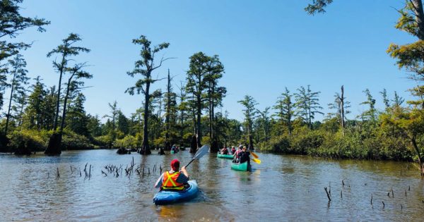
Flooding
Podcast: Stories from the Floodplain
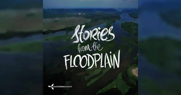
July 30, 2019 | Podcast
On this episode of Stories from the Floodplain, join PRN staff member and host Ryan Grosso as he journeys to Hannibal, Missouri to hear from people who are fearful of an age of “levee wars.”
WRDA we want? Healthy Rivers.
Though it receives less scrutiny than other government actions, federal water policy has immense and lasting impacts on rivers and wildlife, as well as millions of Americans. And much of that policy is dictated by one piece of legislation–the Water Resources Development Act (WRDA). An update to this large and complex collection of “all-things-water” policies […]
We have only ourselves (& the Army Corps of Engineers) to blame
Poor river policies wreak havoc on river towns and fragile ecosystems by Kim Knowles Governor Bruce Rauner has declared 23 Illinois counties disaster areas due to flood damages. Widespread flooding has shut down businesses, closed roads, forced evacuations, and taken lives as intense winter precipitation caused the Missouri and Mississippi Rivers to flood towns in […]
Floodplain Managers Urge EPA to Stop the New Madrid Levee
Today marks a significant victory in Prairie Rivers Network’s campaign to stop the New Madrid Levee project and protect the people, wildlife, and wetlands of southern Illinois. The Association of State Floodplain Managers is now publicly urging EPA Administrator Gina McCarthy to veto the levee project, which would destroy wetlands and wildlife habitat and put communities […]