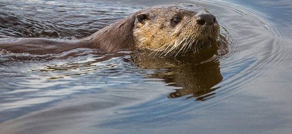
Today we face a new conservation crisis as emerging diseases, invasive species, and extreme weather threaten wildlife at a scale inconceivable just a few decades ago. Thousands of species of birds, mammals, fish, frogs, turtles, butterflies, and plants are slipping through the cracks. America has a proud history of bringing wildlife back from the brink. […]
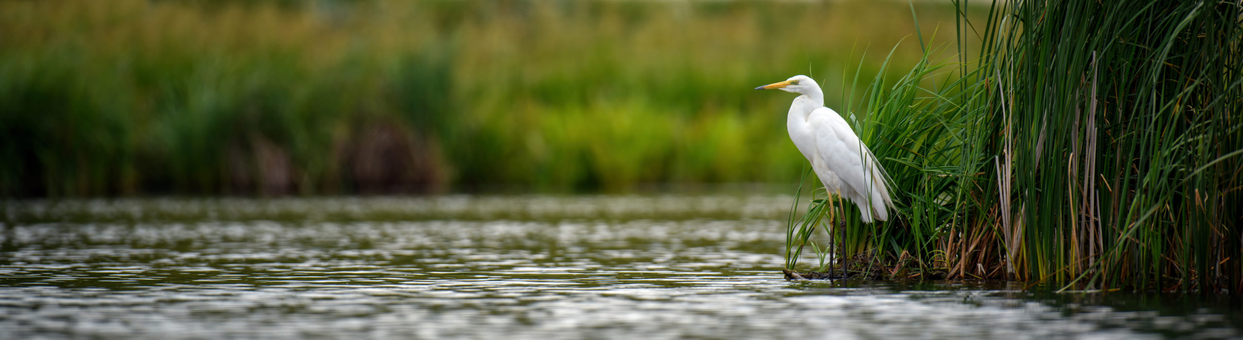
Riverside Habitat
WRDA we want? Healthy Rivers.
Though it receives less scrutiny than other government actions, federal water policy has immense and lasting impacts on rivers and wildlife, as well as millions of Americans. And much of that policy is dictated by one piece of legislation–the Water Resources Development Act (WRDA). An update to this large and complex collection of “all-things-water” policies […]
We have only ourselves (& the Army Corps of Engineers) to blame
Poor river policies wreak havoc on river towns and fragile ecosystems by Kim Knowles Governor Bruce Rauner has declared 23 Illinois counties disaster areas due to flood damages. Widespread flooding has shut down businesses, closed roads, forced evacuations, and taken lives as intense winter precipitation caused the Missouri and Mississippi Rivers to flood towns in […]
Land and Water Conservation Fund needs our support
#SaveLWCF UPDATE 12/17/2015: We learned yesterday that the federal budget agreement will extend the Land & Water Conservation Fund (LWCF) for another 3 years. Since Congress let LWCF expire in Sept., that IS good news. BUT – we’re going to keep working for permanent reauthorization to this critical program. Stay tuned in the new year […]
Floodplain Managers Urge EPA to Stop the New Madrid Levee
Today marks a significant victory in Prairie Rivers Network’s campaign to stop the New Madrid Levee project and protect the people, wildlife, and wetlands of southern Illinois. The Association of State Floodplain Managers is now publicly urging EPA Administrator Gina McCarthy to veto the levee project, which would destroy wetlands and wildlife habitat and put communities […]