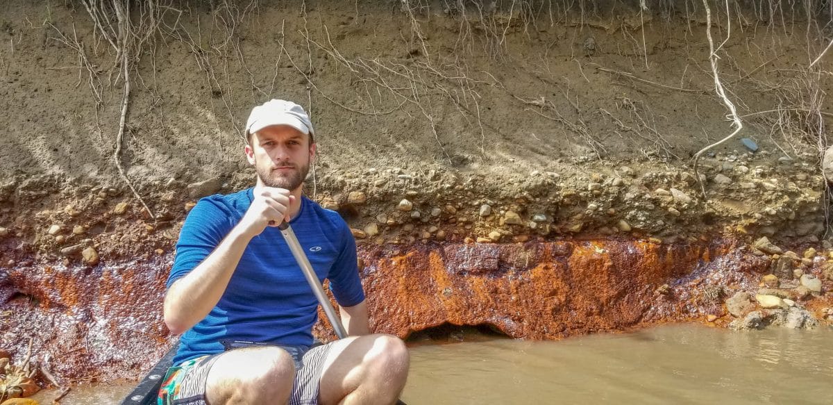
This June, PRN Staff Andrew Rehn and Ryan Grosso canoed the Middle Fork of the Vermilion River to check on the coal ash ponds that are seeping pollution into the Middle Fork.
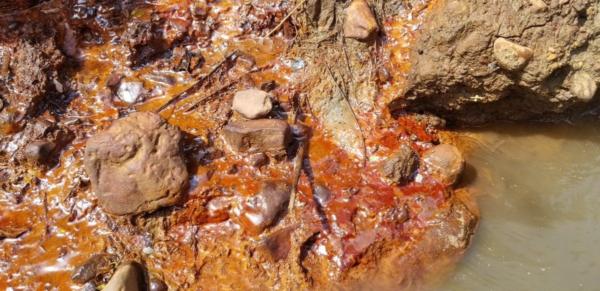
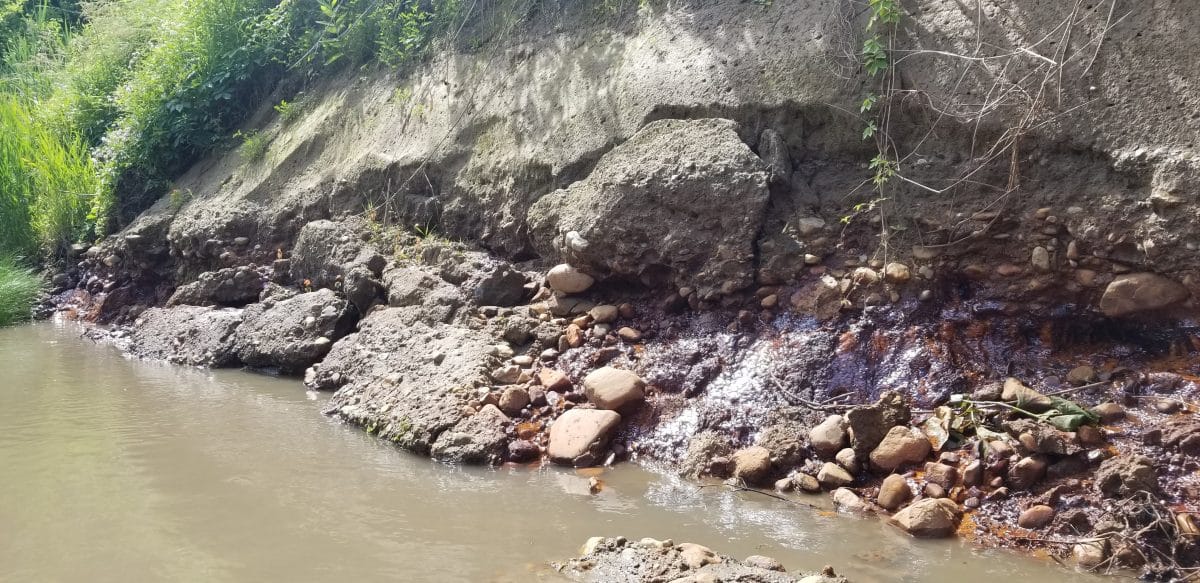
The coal ash ponds are located just behind the pictured river banks. Seepage from the coal ash continues to enter the Middle Fork. The bright orange and red staining was as present as ever, and the seeps were flowing along over 100 feet of riverbank.
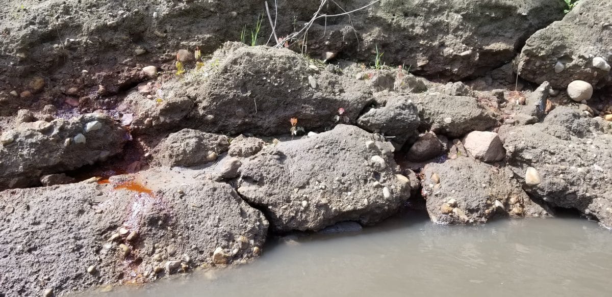
Erosion has continued. Last year, the orange stained rock (likely shale) had formed small caves as the river eroded the rock faster than the soil above. This year, those small caves collapsed and the overburden was tipped into the river. The overburden will be washed away in future floods, and the whole process will begin again.
River bank erosion and migration are a natural process, but the irresponsibly located coal ash ponds could be undercut by erosion and collapse if they remain in the floodplain. Last year, Dynegy proposed a over-sized massive bank armoring project that would create a 2000 feet long scar on the riverbank. PRN opposed the project and called for a temporary, removable bank armoring project that could be installed quickly when necessary, but also removed if the coal ash is ultimately removed from the floodplain.
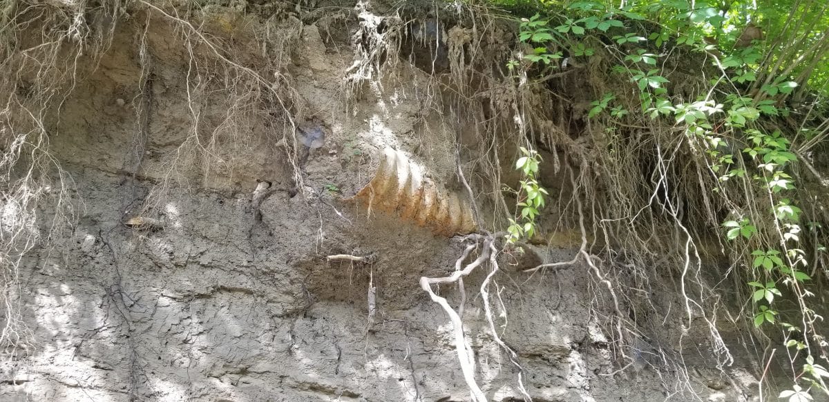
A corrugated metal pipe was observed. This is the first time that PRN staff have seen this particular pipe (picture above). Erosion may have unearthed this pipe over the past year, or it may have been hidden by foliage in previous years. The pipe appears to be filled with soil, but any pipe running under the coal ash ponds presents risks. In past years, a clay tile drain was found sticking out of the river bank as well. The water level was too high to see the clay tile on this trip.
PRN Staff will continue to monitor the coal ash on the Middle Fork, and will share occasional updates.

