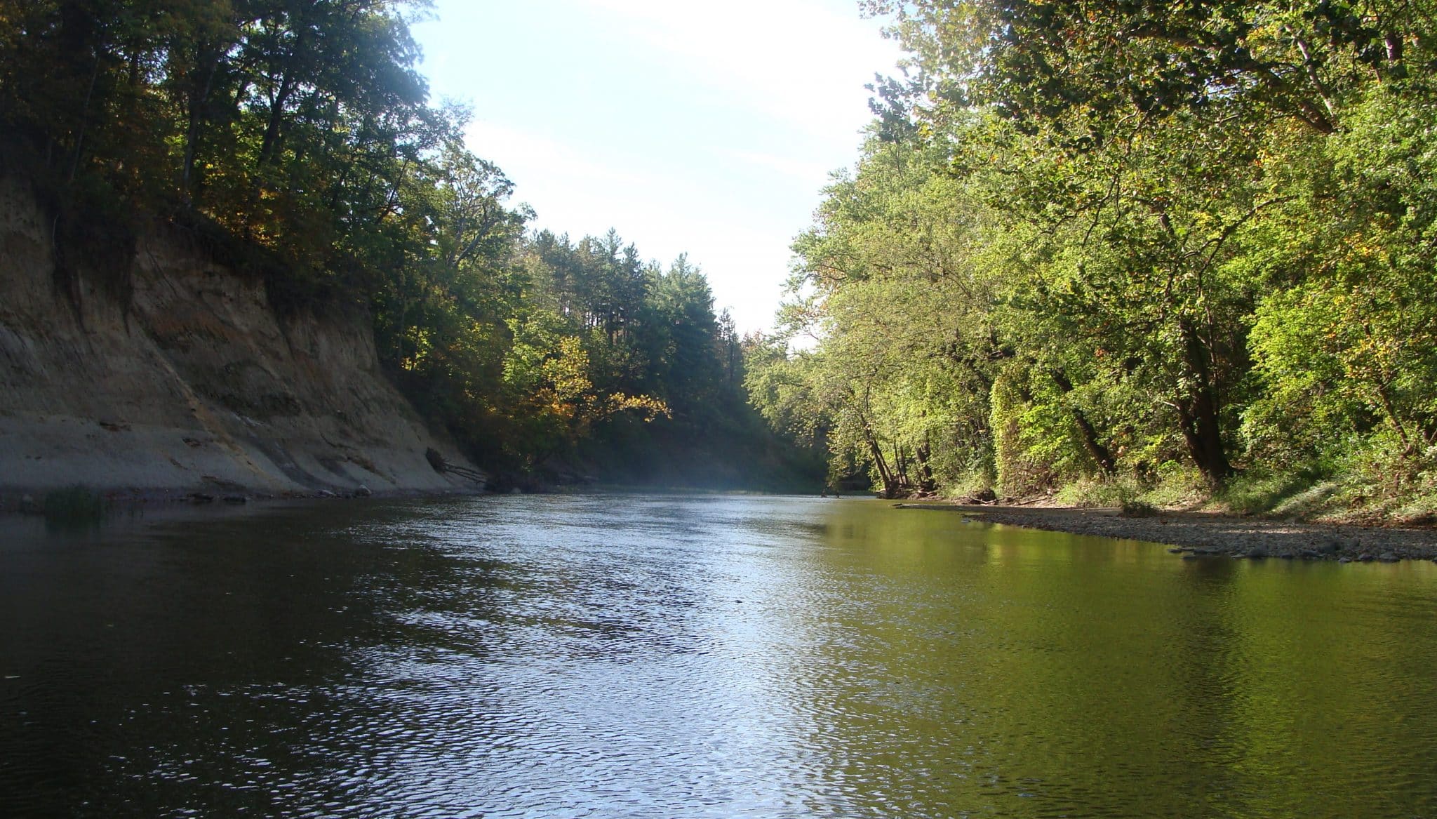
University and middle school students were canoeing on the Middle Fork this week on an educational field trip when they noticed something that seemed out of place. One of the small tributaries to the Middle Fork was flowing faster than any of the canoers had seen before, and it was flowing thick with milky white sediment. Upstream of this tributary, the water was perfectly clear, but downstream, the entire Middle Fork was cloudy and opaque.
Sediment is a pollutant, especially in large quantities. Fish and other less mobile critters can’t see and can’t breathe if there is too much sediment in the river. Not only that, but sediments have often absorbed other contaminants which are released when they enter the river. Discharges like this are quite common when it rains, as farm fields can have substantial runoff of sediment and nutrients, but it had not rained that day.
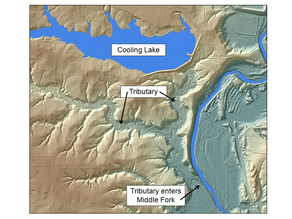
These canoers decided to call PRN and report the problem, and I’m glad they did. They were able to identify the tributary on a Google map:

For me, this tributary is notable because it is directly south of Dynegy’s Vermilion Power Station. The large lake at the top of the map is the former cooling lake of the power station. In fact, if we look at elevation data, there are two clear potential sources of the tributary, and one of them is the cooling lake’s dam:

Unfortunately, the canoers did not have a camera to get pictures of the sediment laden tributary. This is a common problem: someone is discharging pollutants into a river, but there is no one to take a picture or identify the source. By the time regulating authorities arrive the pollutant release has ended.
After I got their call, I reached out to Illinois EPA to report the problem and called contacts in the area to see if anyone could respond. We also reached out to you, the public, to see if anyone had any information.
While Illinois EPA looked into the issue, we did some sleuthing of our own. We’ve been able to confirm that there was a substantial discharge of water into the river. There is a river gauge about 5 miles downstream at Oakwood that measures the flow rate of the river. At approximately 12:00pm on Tuesday the 25th, this gauge shows a 40 cubic feet per second increase that lasts for about 16 hours. That’s over 17 million gallons of extremely turbid water discharged into the Middle Fork over that period.

I followed up with Illinois EPA the next day. They were not able to access the stream due to thick foliage. They contacted multiple farmers in the area, none of which reported releasing anything. There was no rain that day, so this couldn’t have been runoff from farm fields. They also reached out to Dynegy, who said that they could not find any spill at the Vermilion site. There was some speculation from Illinois EPA that an old mine could have blown out, releasing stored water into the river.
Unfortunately, that’s all we might know about this event. Without more information, it’s impossible to assign blame or understand what exactly was discharged into the river. We can only hope that no harm came to the wildlife who thrive in the Middle Fork. Prairie Rivers Network will continue to fight for the long term health of this river and the people who use it.
—See Part 2: A Mystery With No Dam Solution—
Updated with elevation map on 4/28/2017
Staff Contact: Andrew Rehn, arehn@prairierivers.org


